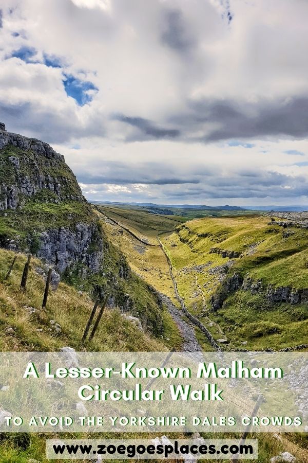
This Malham circular walk takes in 3 of the most popular attractions around this small village. The imposing Malham Cove and the two Malham waterfalls: Janet’s Foss and Gordale Scar.
On this 7-mile walk through the Yorkshire Dales National Park, you’ll get fantastic views, woodland magic and splendid waterfalls. It really is the best of natural beauty in the English countryside.
In this post, there’s step-by-step advice, maps and picture guides. And I’ll even let you in on the secrets to avoiding the crowds!
It’s honestly my favourite of the Malham walks and is perfect on a sunny day.
Malham Circular Walk Map + Summary
Distance: 7.3 miles/11.8 kilometres
Elevation Gain: 469 metres (cumulative)
Difficulty: Moderate to Difficult
Walking time: 3.5 to 4.5 hours
Start and endpoint: Watersinks Car Park
Malham Cove Walk Map
I’ve broken the walk into 4 legs and there’s directions for each below. Overall, the walk is pretty easy to follow using well-trodden paths and signposts.
The last leg back from Gordale Scar to Watersinks Car Park is the least clear path. This is because it crosses a part of the countryside that gets few visitors.
But, there’s detailed directions below and tips to help you know you’re on the right track.
GRAB MY LIST OF MY FAVOURITE YORKSHIRE WALKS…
➡️ Is your New Year’s resolution to spend more time outdoors or exercise more?
➡️ Want to explore more of beautiful Yorkshire?
➡️ Wishing you knew of more great spots for walks and days out?
Save yourself the hours of research finding hidden gems and local favourites…
with this digital list of 52 beautiful Yorkshire walks full of my favourites from years of exploring.
Discover new places, spend more time in the great outdoors and have fun!
And – as a bonus – it includes 3 free trackers and challenge templates!
> > > GET IT NOW
> OR READ MORE
Walk Starting Point: Watersinks Car Park
Malham is a small village and parking is limited. Parking there also means the paths to the surrounding attractions are very busy.
Instead, park at Watersinks Car Park. And then take this alternative route to Malham Cove, Janet’s Foss and Gordale Scar.
The free Watersinks Car Park is located between Malham and Malham Tarn, just a 10-minute drive outside the village. And it’s where this Malham circular walk starts.
To get to the car park, use the Google pin ‘Watersinks Car Park‘ or the Ordnance Survey grid reference: SD 89420 65812.
Leg 1: Watersinks Car Park to Malham Cove Walk
The first leg of this Malham Cove hike gets you to the cove itself. It’s incredibly beautiful and my favourite part of the route.
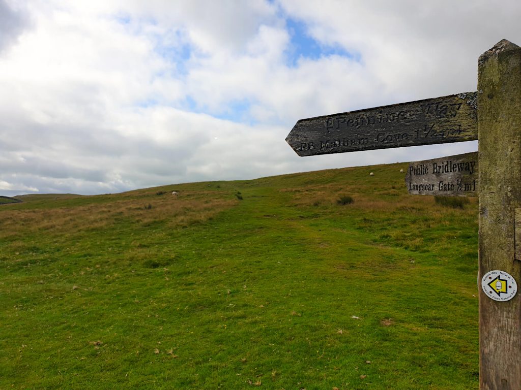
- From Watersinks Car Park, walk along the road to the right, and join the trodden path on the other side of the road behind the wooden gate. Follow the signpost pointing to Malham Cove.
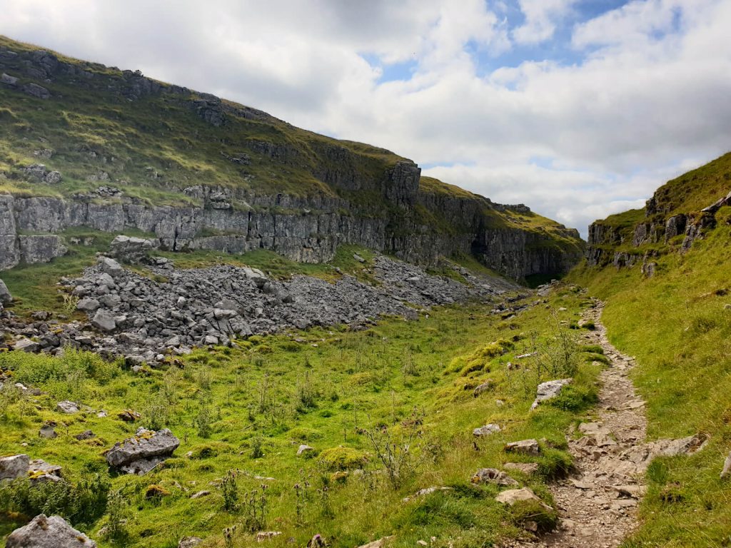
- As the path forks in two, again follow the sign towards Malham Cove (the left-hand option). This part of the Malham Cove hike is spectacularly scenic and remote with few people!
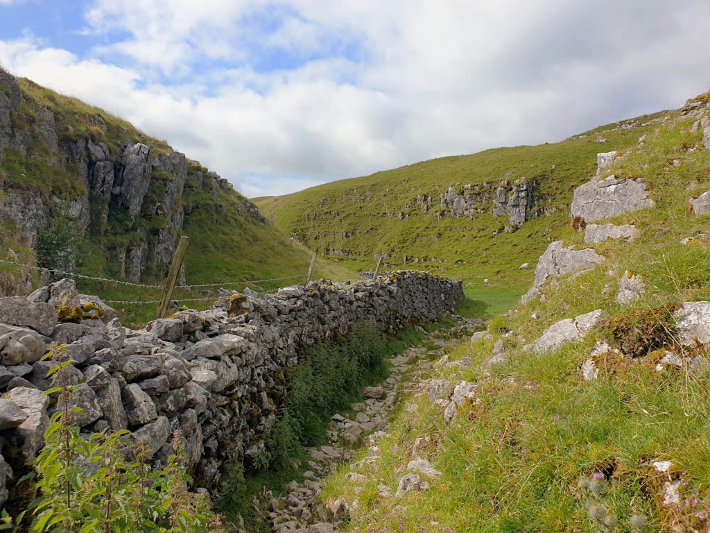
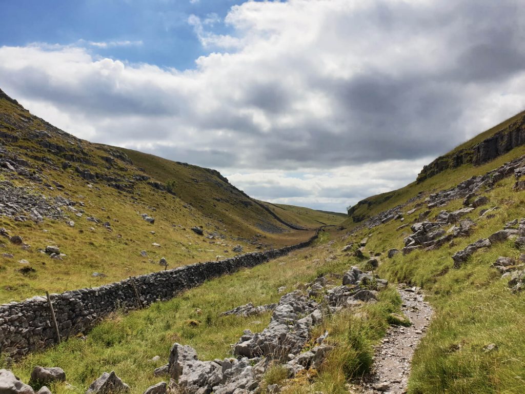
- Continue following the path as it runs parallel to a dry stone wall for a while and between the hills. Watch out for the sheep!
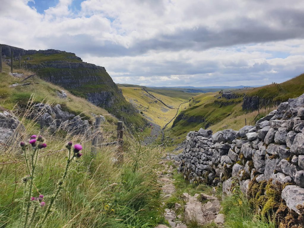
- As the path emerges out of the valley, it then cuts to the right to look out over the Yorkshire hills.
- Next, continue on the path as it snakes around and heads downhill quite steeply. At this point, you’ll be glad you are walking down and not up! The path down is formed of some uneven steps created from the rocks underfoot. Be careful as these could become loose and more slippery in wet weather.
- At the bottom of the hill, the path flattens out and continues through another small valley. Keep following the path and at the end of it, you’ll come out on the top of Malham Cove!
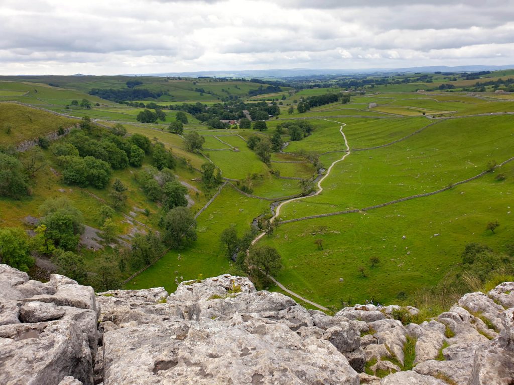
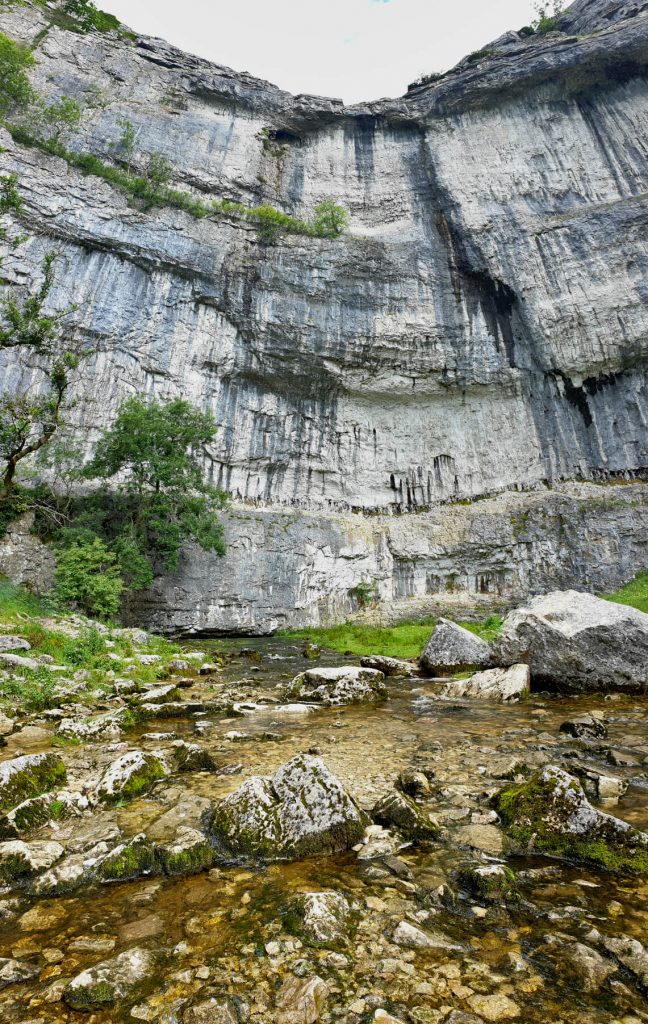
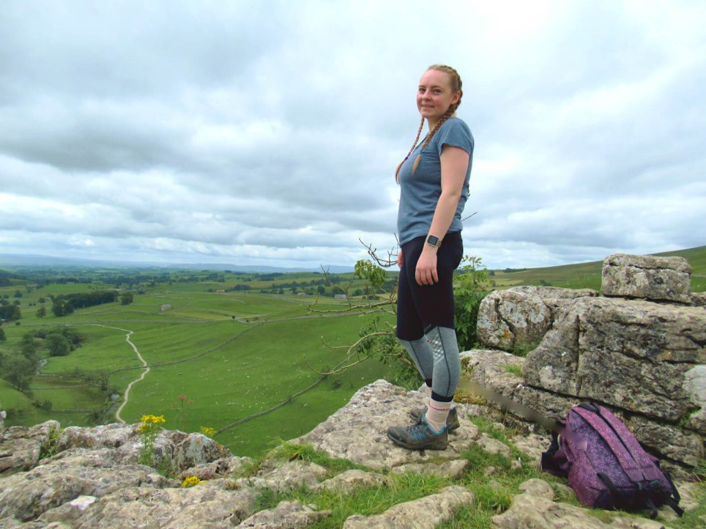
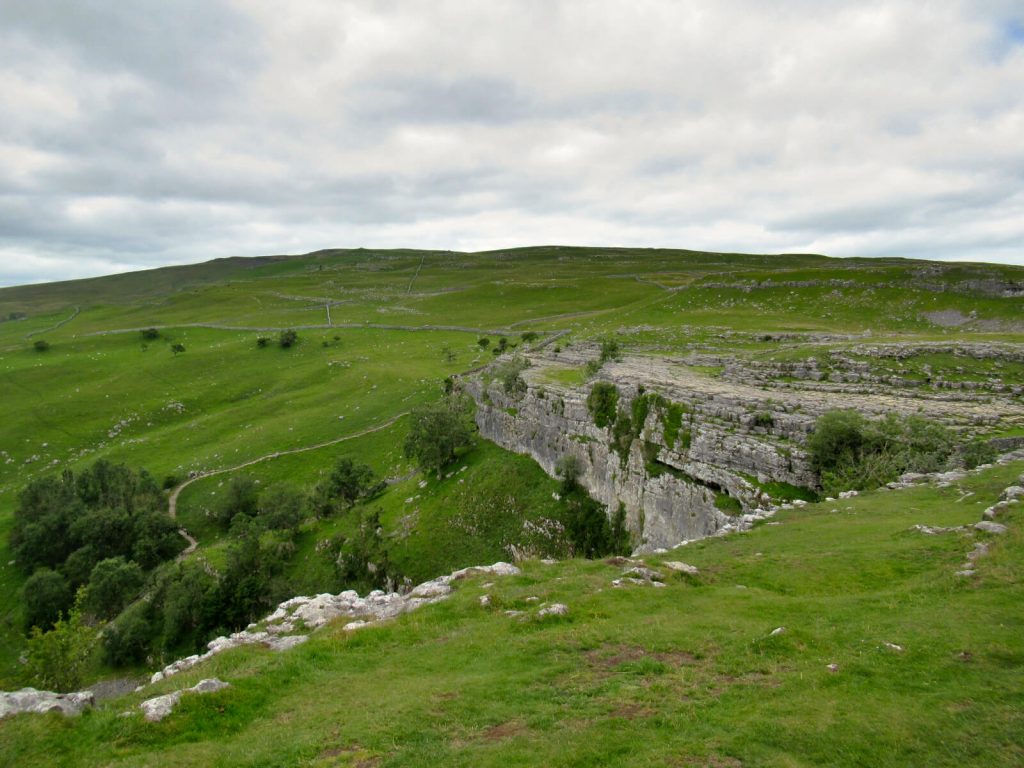
Stop 1: Malham Cove
The first of three stunning sights of nature on this Malham walk.
The top of Malham Cove is instantly recognisable from its limestone pavement that spreads 300 metres across! Walking across the tops requires some concentration as gaps, called grykes, have formed between the blocks.
The quietest part along the top of Malham Cove is the far left section when looking out. On the other hand, the busiest part is the far right when looking outwards as this is where the path up/down is.
If you want to, you can take the 400 steps down to see the cove from the bottom! The best photo spot for looking up at Malham Cove is from the middle of Malham Beck.
And no, I’m not kidding! But don’t worry, you can easily step across the rocks in the stream!
Inside the cove, it can be quite busy often with large groups as many people take the flat Malham Cove walking route here from the village. However, it’s as impressive from the bottom as the top!
If you do decide to walk to the bottom of Malham Cove, you will need to climb the 400 steps back up to re-join this route! Trust me, there’s no shame in getting overtaken by a 5-year-old child whilst huffing and puffing!
Leg 2: Malham Cove to Janet’s Foss Walk
Once you’ve finished admiring the view, the next leg takes you from Malham Cove to Janet’s Foss waterfall. This is the first of 2 waterfalls on this Malham walk.
- At the top of Malham Cove, return to where the path came out on the tops. From here, you should see a gap in the dry stone wall you can cross and then head uphill.
- The path continues to the side of Malham Cove and offers fabulous views of the sheer cliff face. At first, the path isn’t particularly clear as it’s grassy, but it soon becomes well-trodden and easy to follow.
- Keep following the path until you come to the road. Then, climb the ladder over the wall, cross the road and re-join the path to continue your walk to Janet’s Foss.
- From here, follow the path parallel to a dry stone wall. Then, as the path turns to the right slightly, go through the metal gate and down a few steps. Continue across the field and head towards the dry stone wall on the other side.
- For the last stretch, you’ll see the road at the bottom as you head downhill. At the road, turn right and walk for approximately 100 metres. On the left, you’ll see a National Trust sign welcoming you to Janet’s Foss – head through the wooden fence and explore the waterfalls!
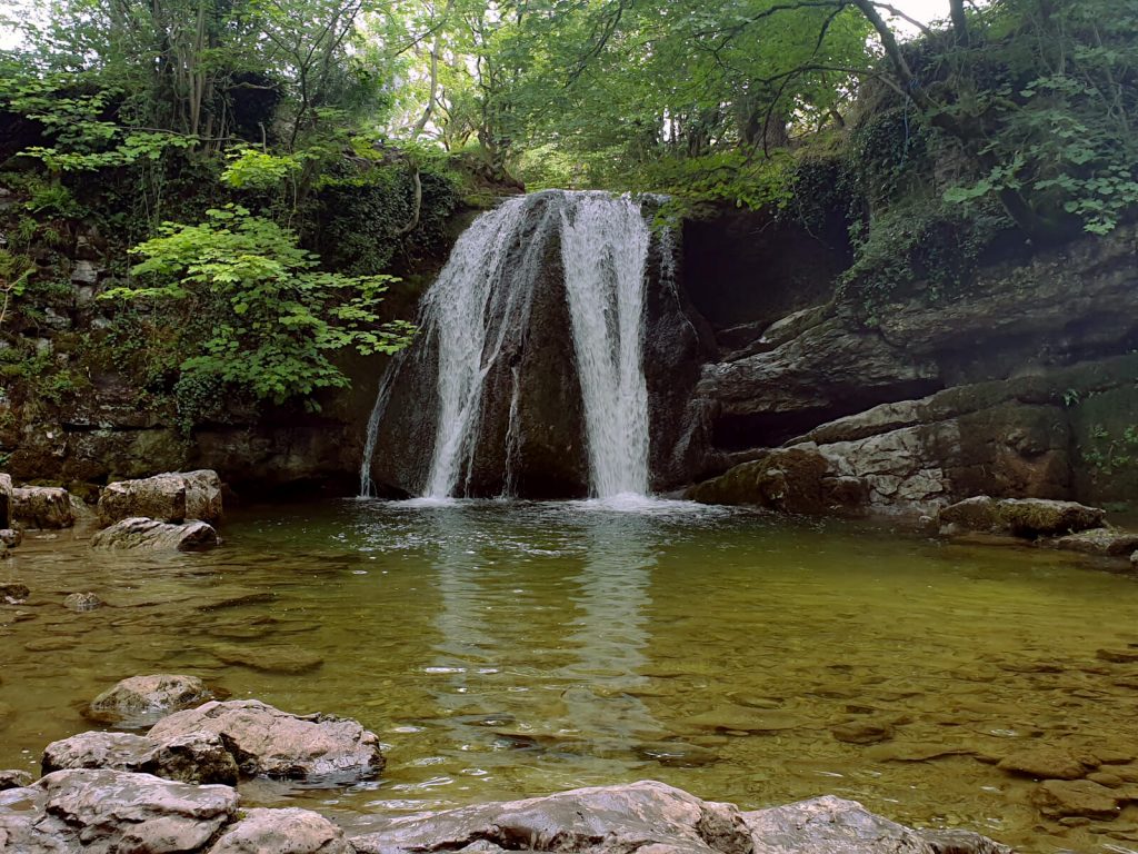
Stop 2: Janet’s Foss
As the legend goes, Janet’s Foss is named after a fairy believed to live in a cave behind the waterfall.
The word foss is from Norse meaning waterfall. And this along with ‘force’ are common names for waterfalls in northern England.
It’s a popular spot on almost all Malham walks due to its close location to the village as well as Malham Cove and Gordale Scar. A flat path from Janet’s Foss links all of these natural sights – though this route can become exceptionally busy.
In the summertime, it’s common to find children (and adults) splashing and swimming in the pool under Janet’s Foss. The area is mostly under tree cover, which gives it a more magical feel.
Leg 3: Janet’s Foss to Gordale Scar Walk
Once you’ve taken in the woodland charm at Janet’s Foss, the next leg of this Malham Cove short circular walk to Gordale Scar is pretty short.
- From the waterfall, head back to the road, turn right, cross Gordale Bridge and keep going along the road until you reach Gordale Scar Campsite.
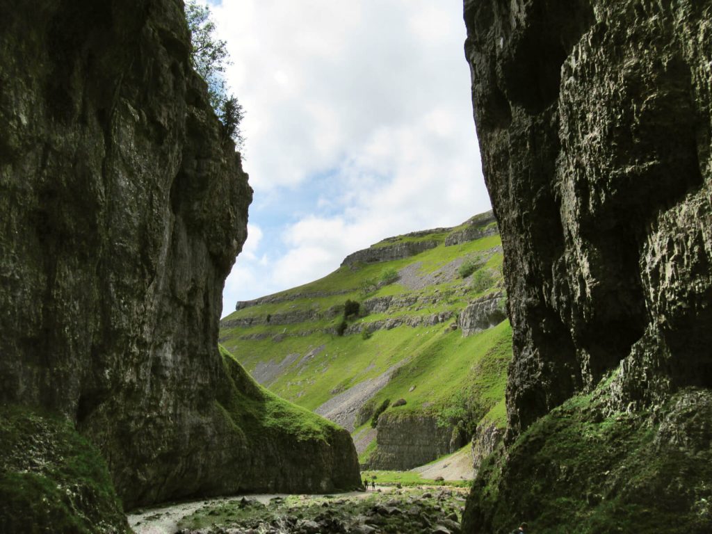
- Enter through the metal fence and continue along the path that heads into Gordale Scar Gorge.
- Keep following the path as it snakes around the bend, parallel to Gordale Back and up towards Gordale Scar waterfall and gorge. To get near the waterfall you’ll have to cross a lot of wet and mossy rocks, so tread carefully!
TOP TIP: The grassy areas as you head into Gordale Scar make a great place to stop for a drink or snack. And you’ll have a wonderful view of the cove!
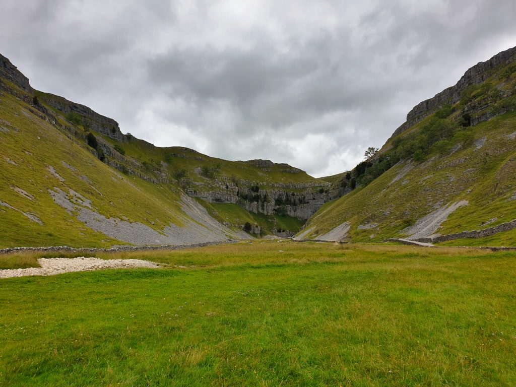
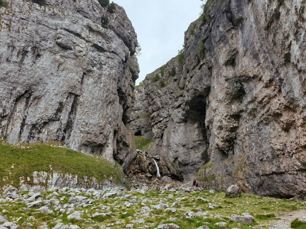
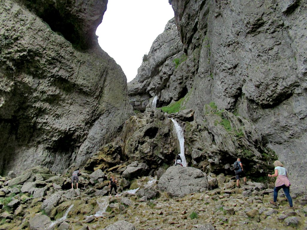
Stop 3: Gordale Scar
Made of limestone rock, Gordale Scar has two waterfalls within a huge gorge up to 100 metres high! Similar to Malham Cove, the creation of the large gorge dates back to the Ice Ages.
You can only truly appreciate the size and scale of Gordale Scar when standing inside the gorge. And this is accompanied by the almost deafening sound of thousands of litres of water pouring over the waterfall!
Leg 4: Gordale Scar to Watersinks Car Park
Technically, the path continues up the rockface next to Gordale Scar waterfall and through the rocky valley. But, this isn’t safe or suitable for most.
Instead, the last leg of this Malham hike takes you back on yourself for 1.2 miles. Then you’ll veer off and head back to Watersinks Car Park.
- First, from Gordale Scar walk back on yourself all the way to the road. Turn right onto the road and then right again back on the footpath back towards Malham Cove.
- Continue along the path back across the field, up the stone steps, through the metal gate and all the way to the road.
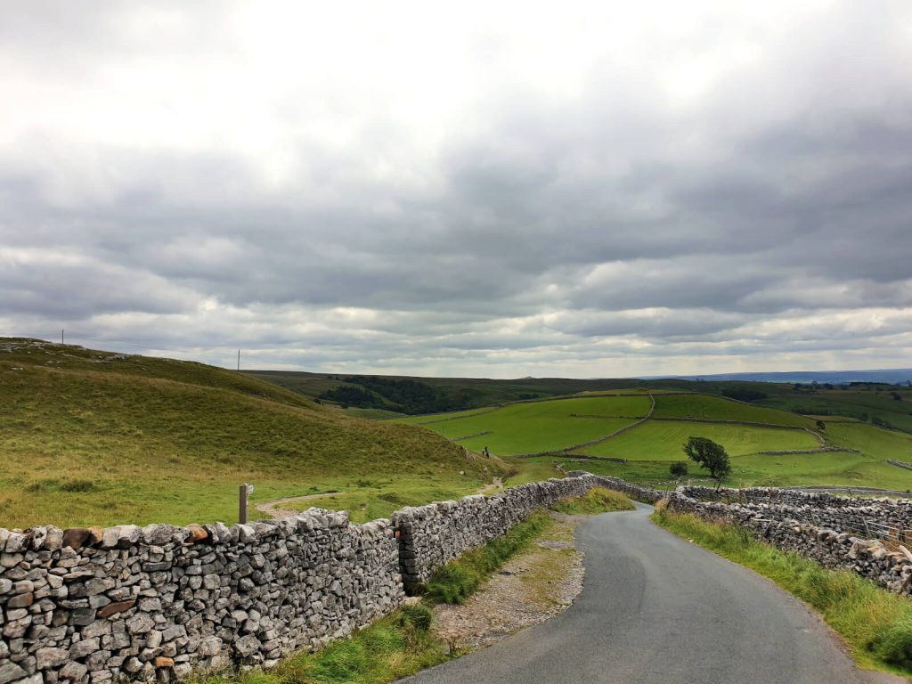
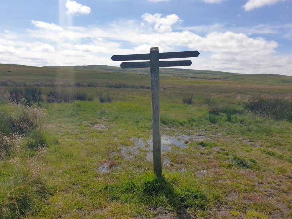
- Turn right at the road and continue until you reach a signpost on the left next to a ladder stile. Not many cars come along this road, so it’s easy to walk along with no pavements.
- Climb the ladder and follow the footpath across the open land. It feels eerily remote here as you pass limestone rock formations and look out over the Dales.
- Although the path becomes less trodden at times, just keep going! After 600 metres, the path forks in two – take either route as they join back together without any other paths or forks before that.
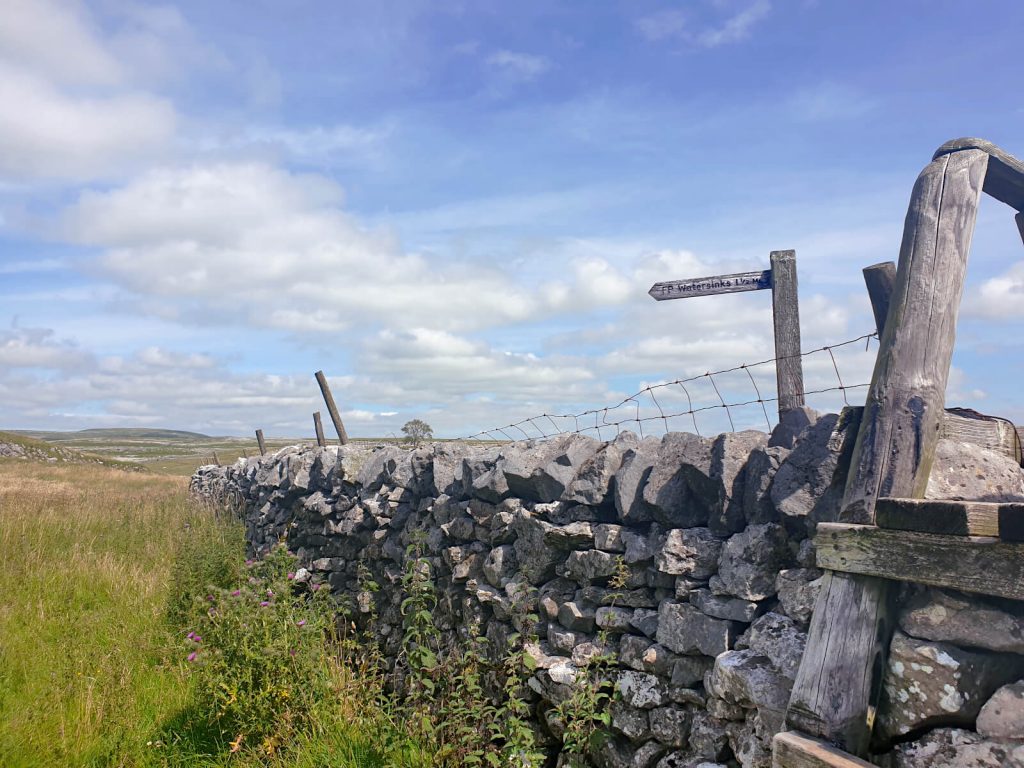
- Continue along the footpath until you reach the signpost for Watersinks Car Park! It will feel like you are walking for quite a long time, and you’ll wonder whether you’re lost, but keep going!
- Keep following the signposts pointing towards Watersinks Car Park. When you reach the large wooden fence and road, turn right, walk a little down the road and you’ll be back at the car park. Congratulations, you’ve just completed this Malham Cove Circular walk!
You’ve done it! Time to enjoy a well-deserved sit-down!
Or if you really wanted to treat yourself, consider driving to The Buck Inn in Malham for some food and drink. The pub also offers accommodation if you want to spend the night in Malham.
Malham Circular Walk FAQs
The walk itself isn’t too difficult, but it’s quite long. Additionally, as this Malham walk is a circular route there isn’t much of an option to make the walk any shorter and still see all the sights.
If you’re after a Malham Cove short walk, I’d recommend taking a route that starts in the village of Malham.
Yes! They are open 24 hours a day, 7 days a week, all year round!
Yes – all 3 are free to visit.
Malham Cove (and Tarn) and Janet’s Foss are both maintained by the National Trust but are entirely free to visit. The Yorkshire Dales National Park also maintain the area.
For most dogs yes, very small dogs may need to be carried in some parts where the gaps between the rocks are larger. In some places, these gaps can be bigger than 12 inches/1 foot.
The rest of this Malham Cove circular walk is entirely suitable for dogs. But do watch out for roaming sheep.
Malham is a small village located on the southern rim of the Yorkshire Dales National Park in northern England. It’s approximately 10 miles from the nearby town of Skipton. Malham Cove is located roughly half a mile north of Malham village.
If you have any questions or want any more information drop a comment below and I’ll get back to you!
Directions, descriptions and prices mentioned are correct as of August 2023 but are subject to change in future.
Other Walks You May Be Interested In…
WEST YORKSHIRE: Ilkley Moor Walks: 4 Beautiful Circular Routes
YORKSHIRE DALES: Buckden Pike Walk (Circular 5.5-mile Route)
WEST YORKSHIRE: Lumb Hole Falls (Best Walking Routes & Parking Spots)
LAKE DISTRICT: Old Man of Coniston Walk: Circular 4-Peak Route
YORKSHIRE DALES: Grimwith Reservoir Walk (Circular Route)
YORKSHIRE DALES: A Yorkshire Dales Waterfalls Walk (to 5 Keld Waterfalls)
PIN IT FOR LATER!
This place is stunning! I hope to be able to hike it one day. I love all that green so much! So glad you enjoyed your time. 🙂
Yes, it was such a good day out in the countryside!
This sounds right up my alley! I love getting the inside scoop on hiking paths – and what seems like a romantic getaway!
I think the Yorkshire Dales would be perfect for a romantic getaway, with the bonus of an isolated walk in (hopefully) the sun!
Wow, how beautiful! As big walking enthusiasts ourselves (hence our blog name, haha!) this looks super up our alley! And of course avoiding crowds is really crucial during these pandemic times. Thanks for sharing!
It really is stunning! Yes, so much nicer to feel like there is no one for miles alone, makes the empty fields and hills seem even more imposing!
This place is awesome. Thanks for this post.
Thank you!
I’ve read a few good stuff here. Definitely worth bookmarking for revisiting. I wonder how much effort you put to make such a excellent informative website.
Thank you – I’m glad you liked it!
This is so informative and thorough! I would love to visit this part of England once I can actually leave my own country. Thanks for sharing!
Thank you! It’s my favourite part of the UK for sure!
Did this last Saturday so a sunny day in March and it was absolutely packed every where along this route especially around gordale scar and Janet’s Foss area. So hardly little known. I’d say upwards of 150 cars in the paid car parking field on the right as you enter the village.of Mallam. Sad really as I first came in the 1990s and it was quiet even in August. Dreams to think how busy it will be in summer now 😢
How sad to hear! I visited most recently last July during school holidays and saw hardly anyone on the route and just a handful of people at each of the sights. The spots and surroundings are beautiful, especially on a sunny day, but would hate to see it become touristy. The small village charm and middle of the countryside escapism are part of the appeal. Thanks for your comments, I’ll certainly update the post to reflect this.
I really enjoyed this walk! The views were amazing and the path was well-maintained. I would definitely recommend it to anyone visiting the area.